


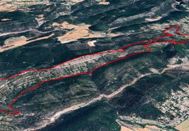
14,2 km | 18,1 km-effort

Benutzer


Kostenlosegpshiking-Anwendung
 SityTrail
IGN / Geografische Institute
SityTrail World
Die Welt öffnet sich für Sie
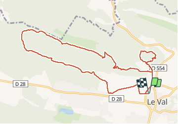
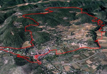
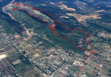
Tour Wandern von 12,7 km verfügbar auf Provence-Alpes-Côte d'Azur, Var, Le Val. Diese Tour wird von Christiancordin vorgeschlagen.
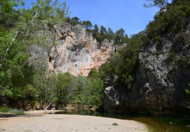
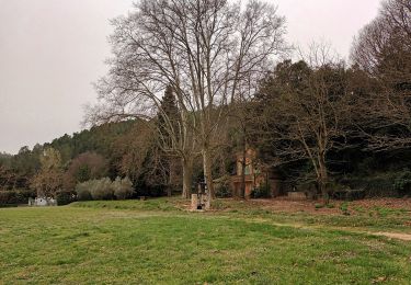
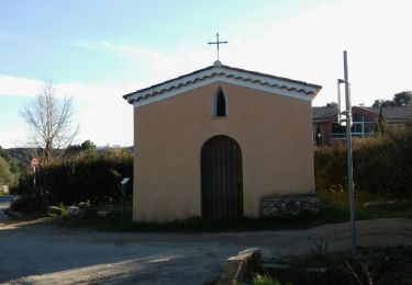
Le Val-panorama sur le Cuit-Notre-Dame de Paracol-Chapelle Ste Blaise-
chapelle St Jacques et chapelle St Cyriaque.


Wandern
Wandern

Wandern
Wandern
Wandern
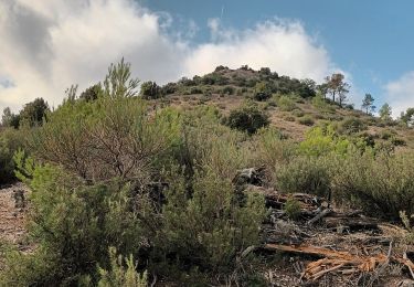
Wandern
Wandern
Wandern
Wandern